
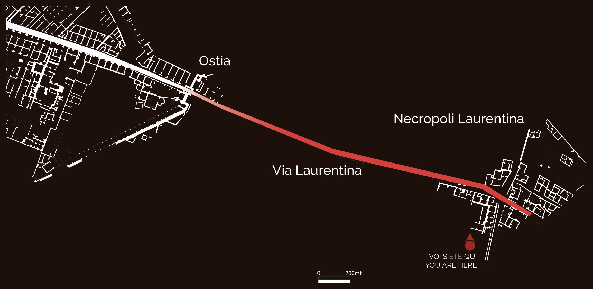
Until the construction of the coastal Via Severiana in the early 3rd century AD, Via Laurentina (which took its name of the variously identified city of Laurentum) was the main link between Ostia and southern Latium. Oriented in a northwest/southwest axis, the road entered the city from the gate that opened on the southern side of the city walls, its urban stretch serving as cardo maximus. In the section outside the city, the road traversed the southern agricultural suburb and, like Via Ostiense, was flanked by rows of tombs in uninterrupted succession to the Pianabella area.
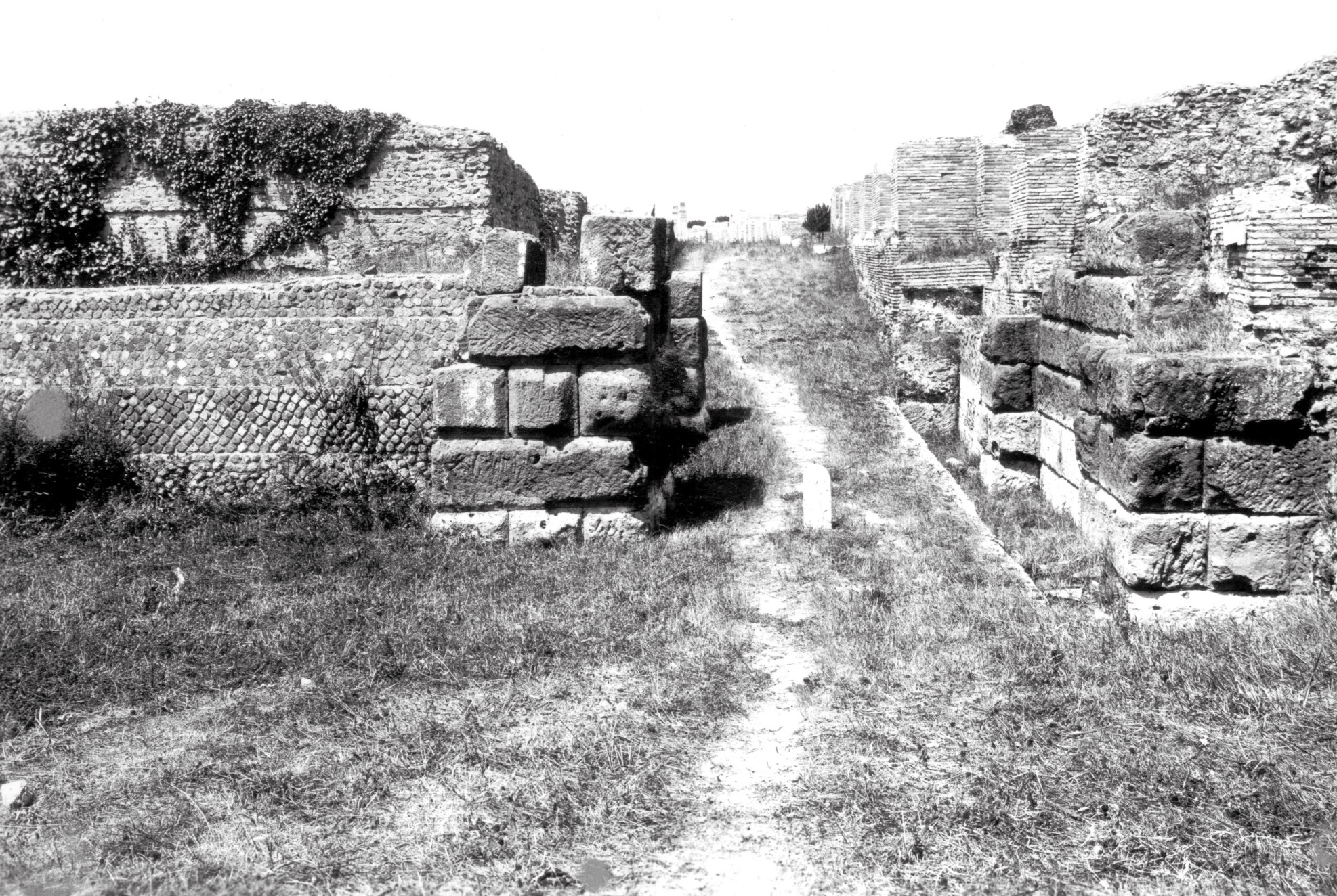
View of the Porta Laurentina gate
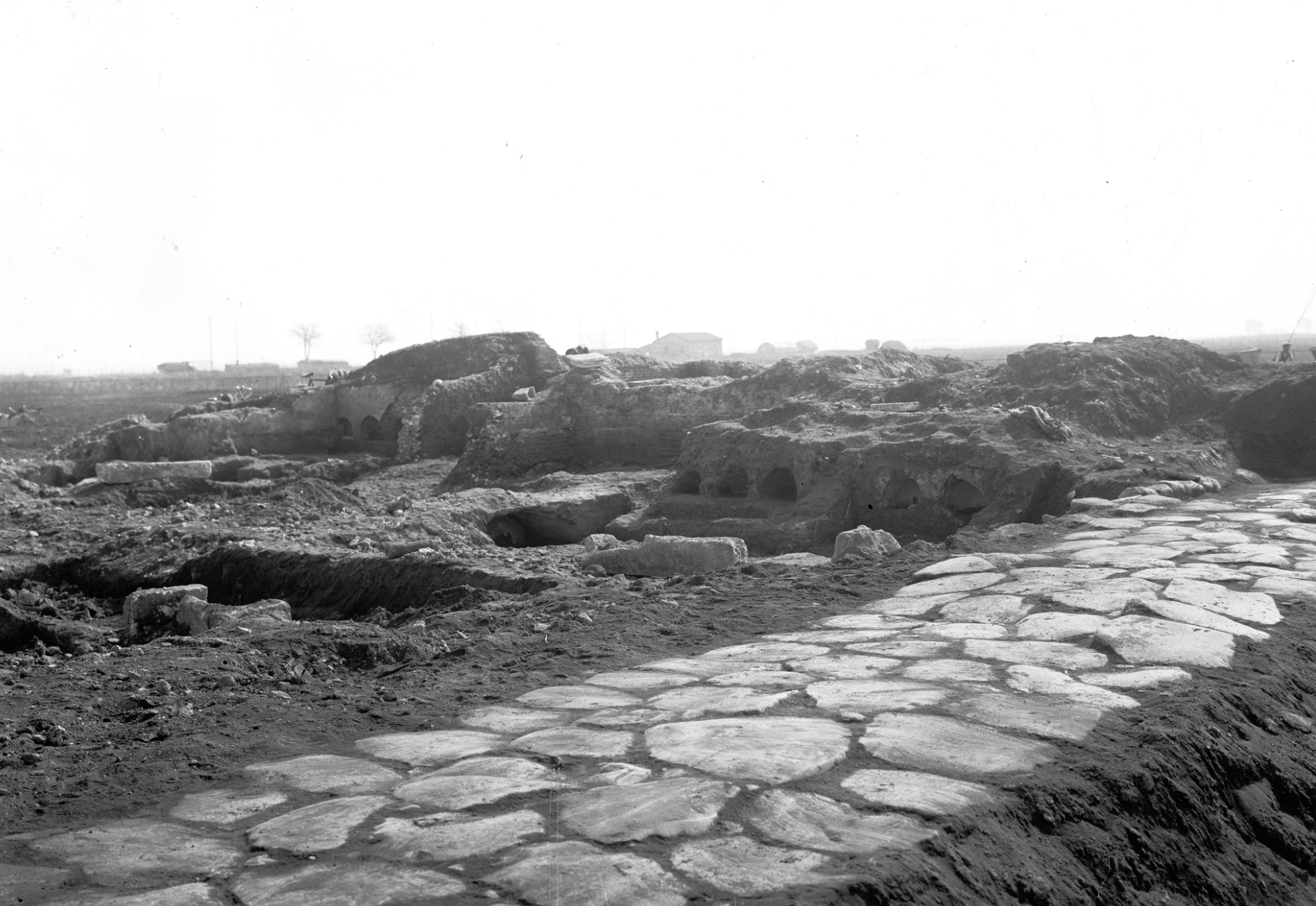
Excavation of Via Laurentina
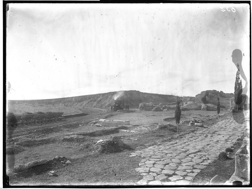
Discovery of the ancient road during the excavations for the construction of Via del Mare (1927)
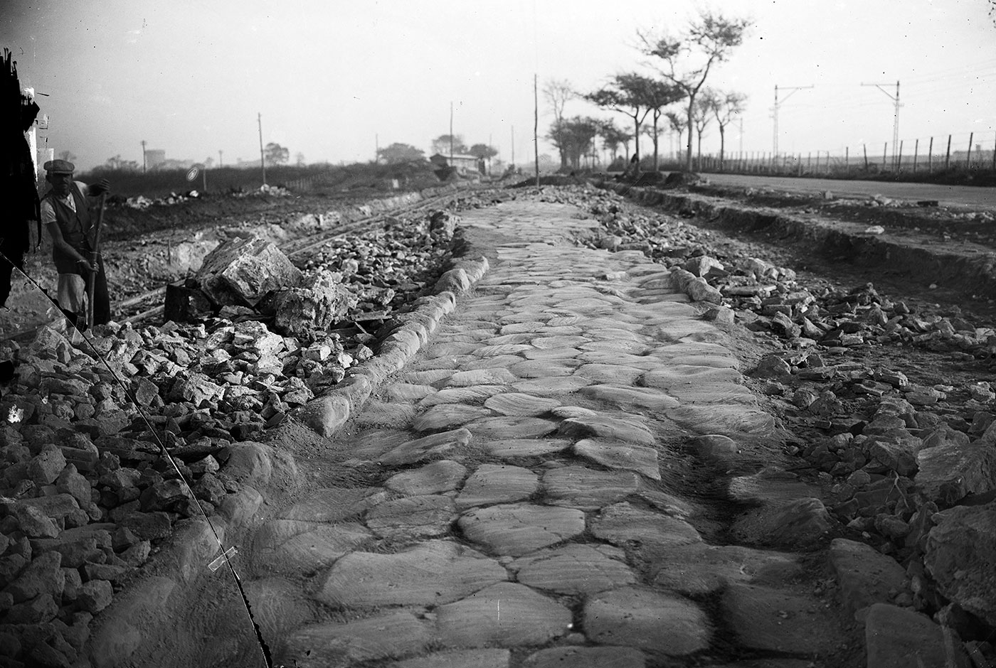
Discovery of the ancient road during the excavations for the construction of Via del Mare (1927)