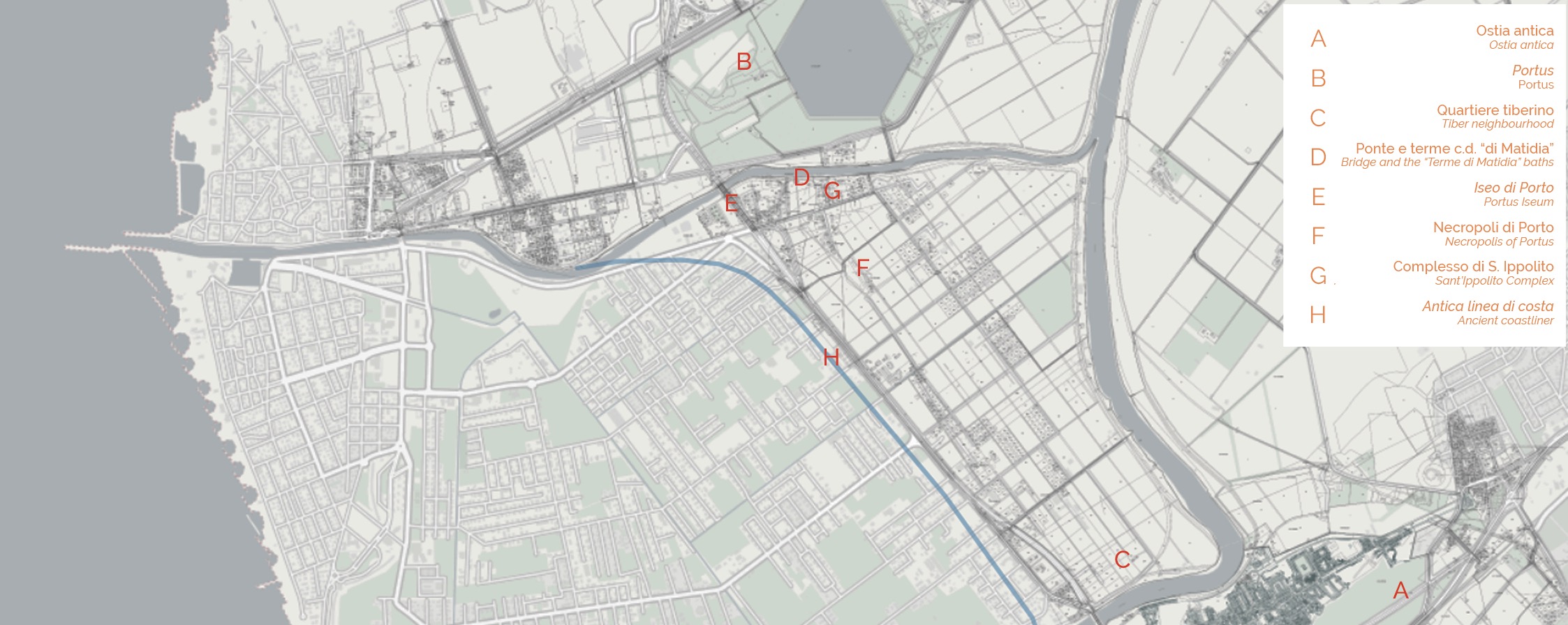
Located at the mouth of the Tiber, the territory that the ancient literary sources call Isola Sacra is an artificial island bounded by the Fossa Traiana to the north (the modern-day Fiumicino canal), by the Tiber to the east and south, and by the sea to the west. The area extends further west than during the Classical Age due to the gradually advancing coastline. Starting from the 1st century AD, a coastal road, Via Flavia-Severiana, linked the centres of Ostia and Portus, traversing Isola Sacra lengthwise and constituting its trunk road axis. In the 3rd century AD this road linked Ostia to Terracina, and was therefore functional to the coastal road system of Latium Vetus. Two areas of development may be discerned: a southern sector belonging to an Ostia neighbourhood across the Tiber, with structures relating to the activity of sorting goods near the river, and a northern sector in which a neighbourhood in Portus’s residential area may be recognized. In the latter, beyond the area of the so-called Iseum, the bridge complex may be seen, as well as the baths called “Terme di Matidia,” the Early Christian Basilica of Sant’Ippolito with its annexed Antiquarium, and the vast area of the Portus burial ground.
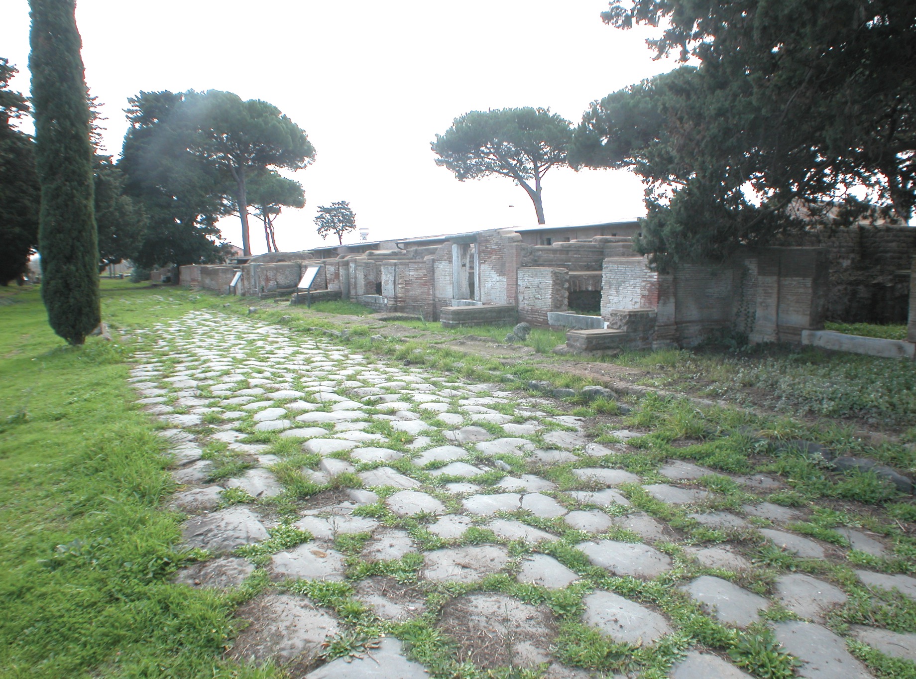
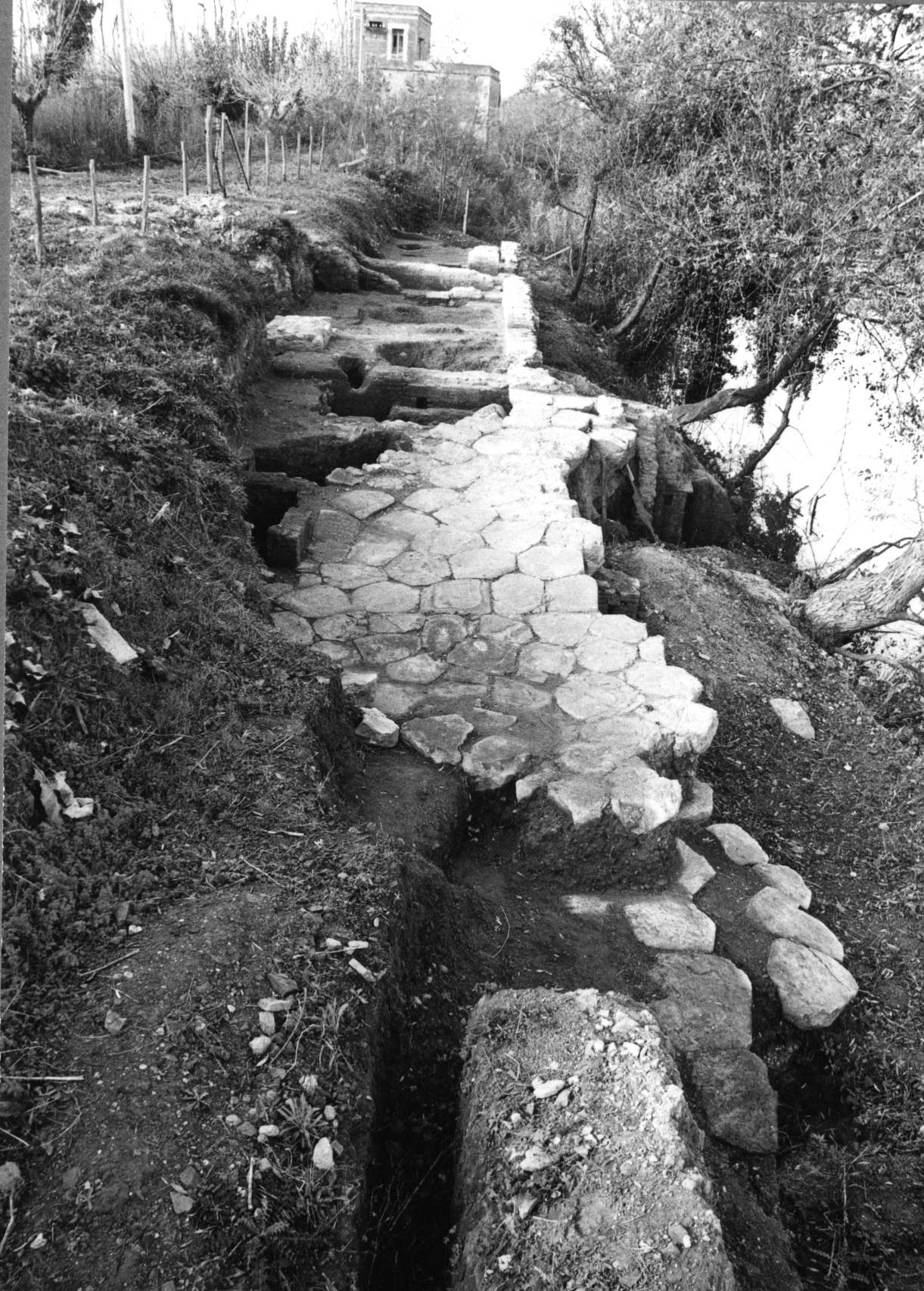
Section of the Via Flavia-Severiana
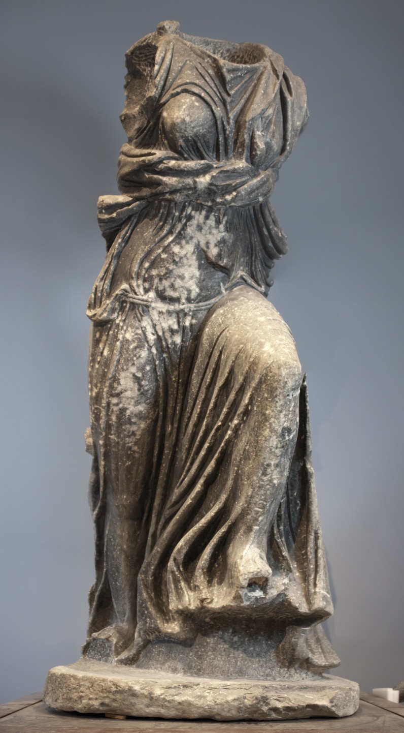
Statue of Isis Pelagia discovered in the area of the so-called Iseum
(Museo Ostiense)
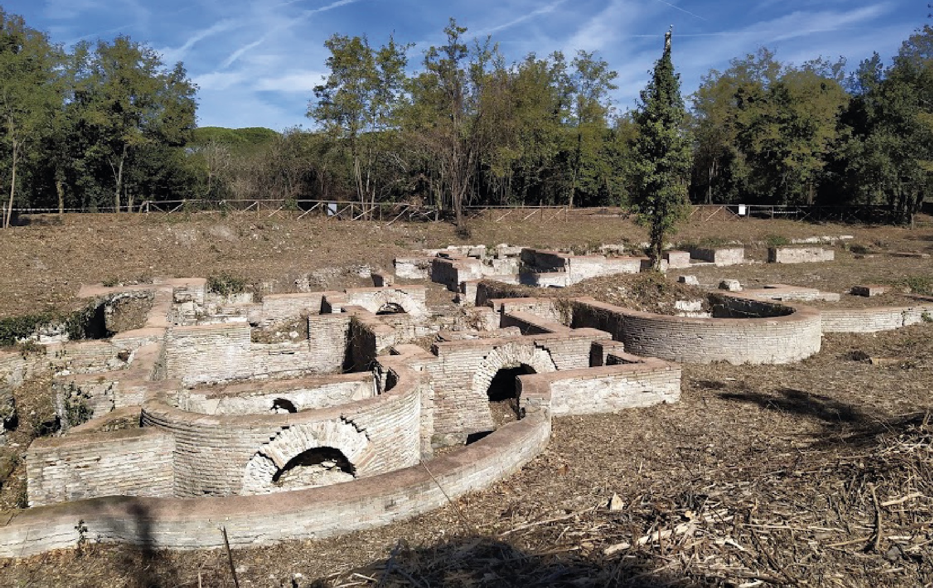
The so-called “Terme di Matidia” baths
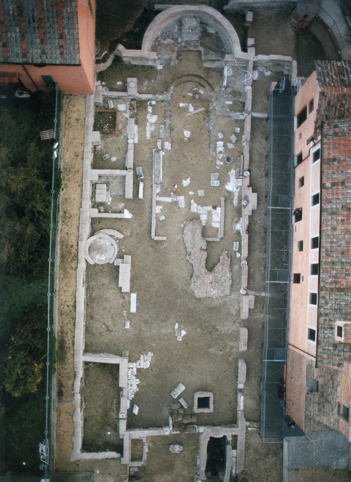
The Early Christian Basilica of Sant’Ippolito
Left bank of the Fossa Traiana: paved road with service environments near the Matidia bridge
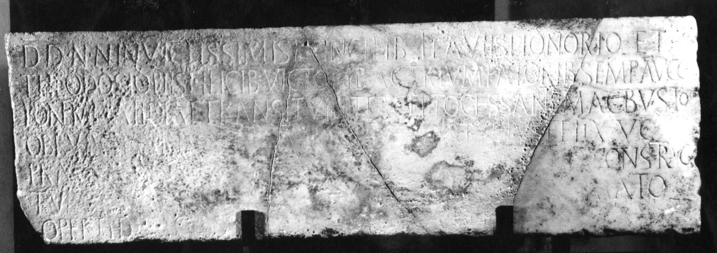
Opisthographic slab (inscription on both sides) mentioning the Matidia bridge
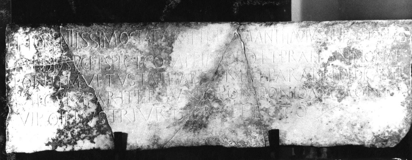
Opisthographic slab (inscription on both sides) mentioning the Matidia bridge
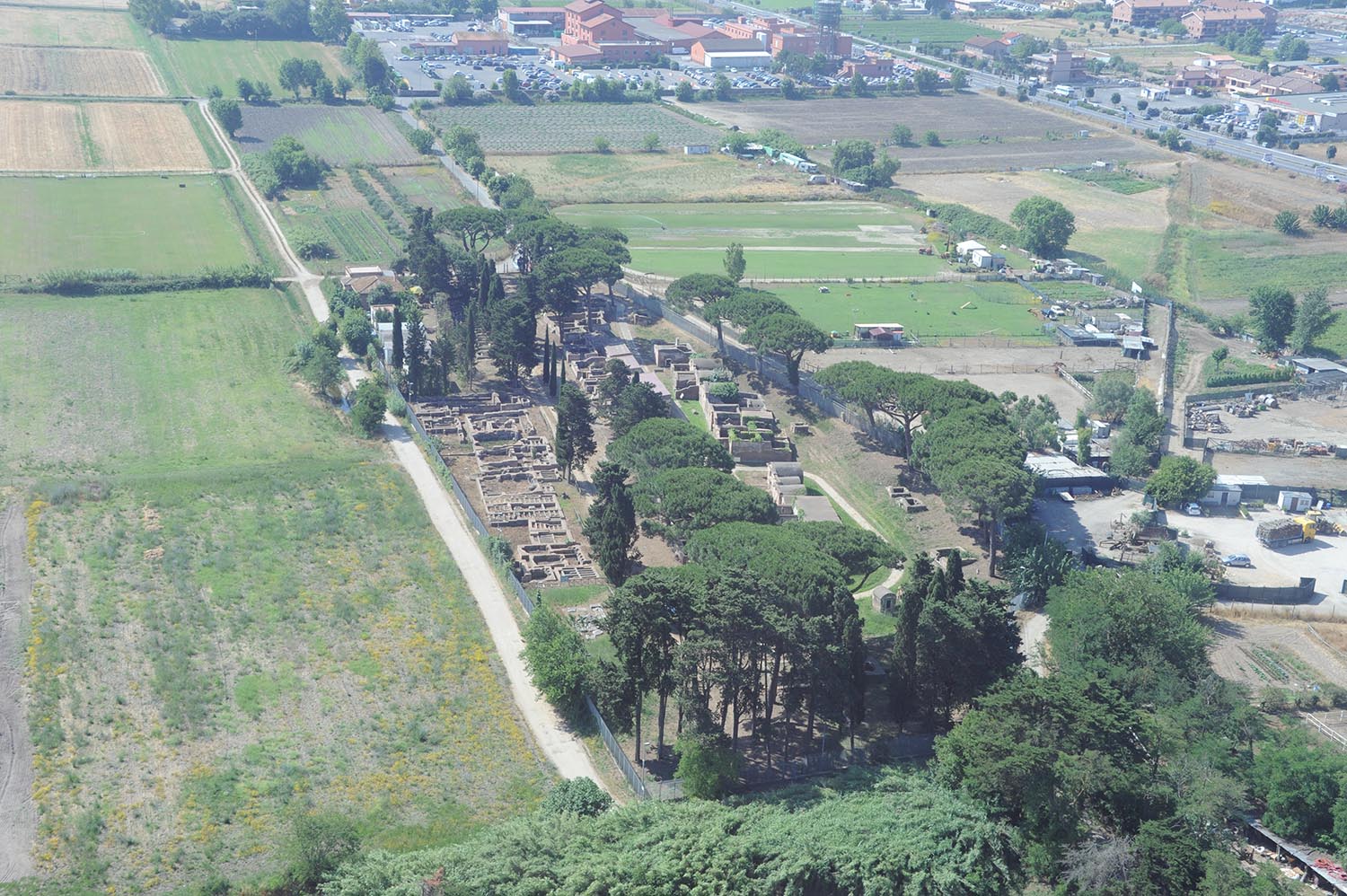
The Portus necropolis at Isola Sacra
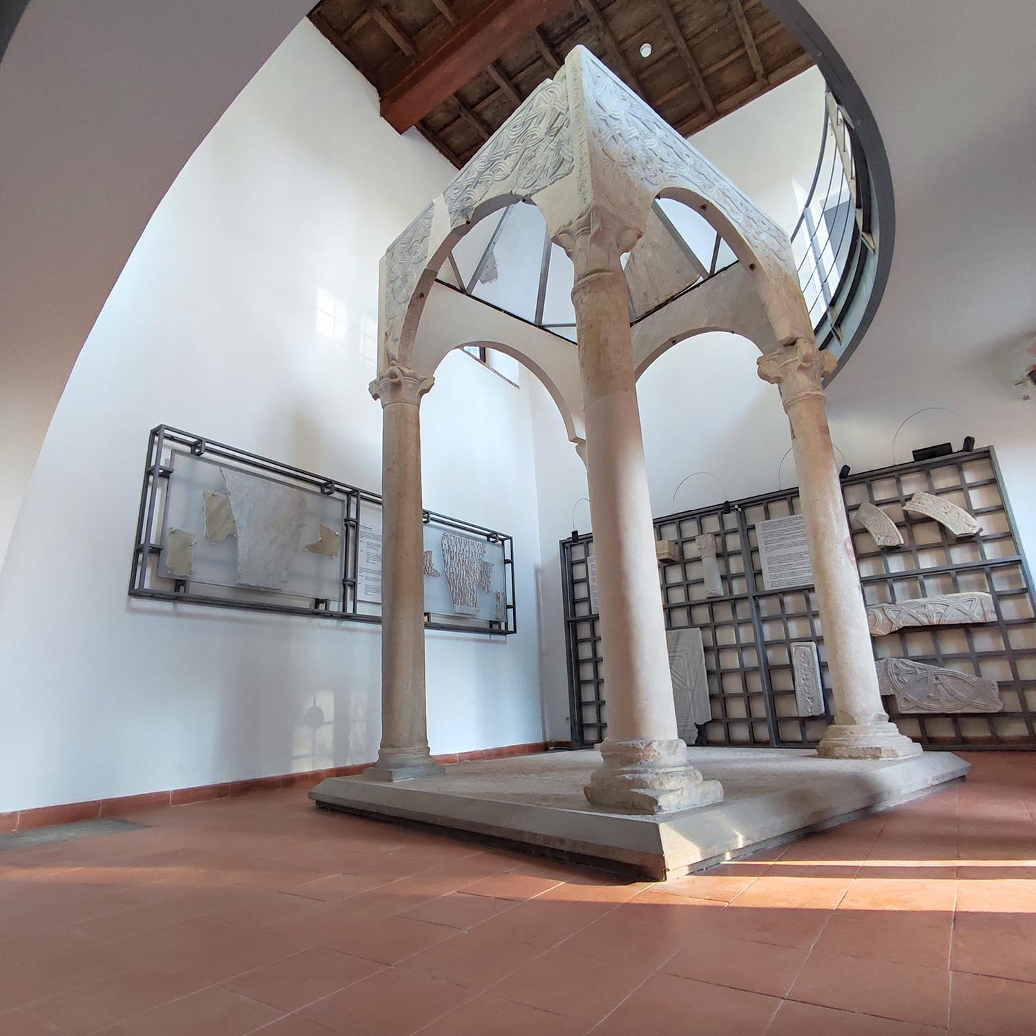
The ciborium of the Basilica of Sant’Ippolito, on display in the Antiquarium